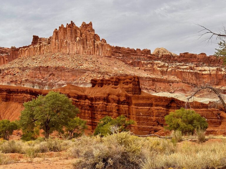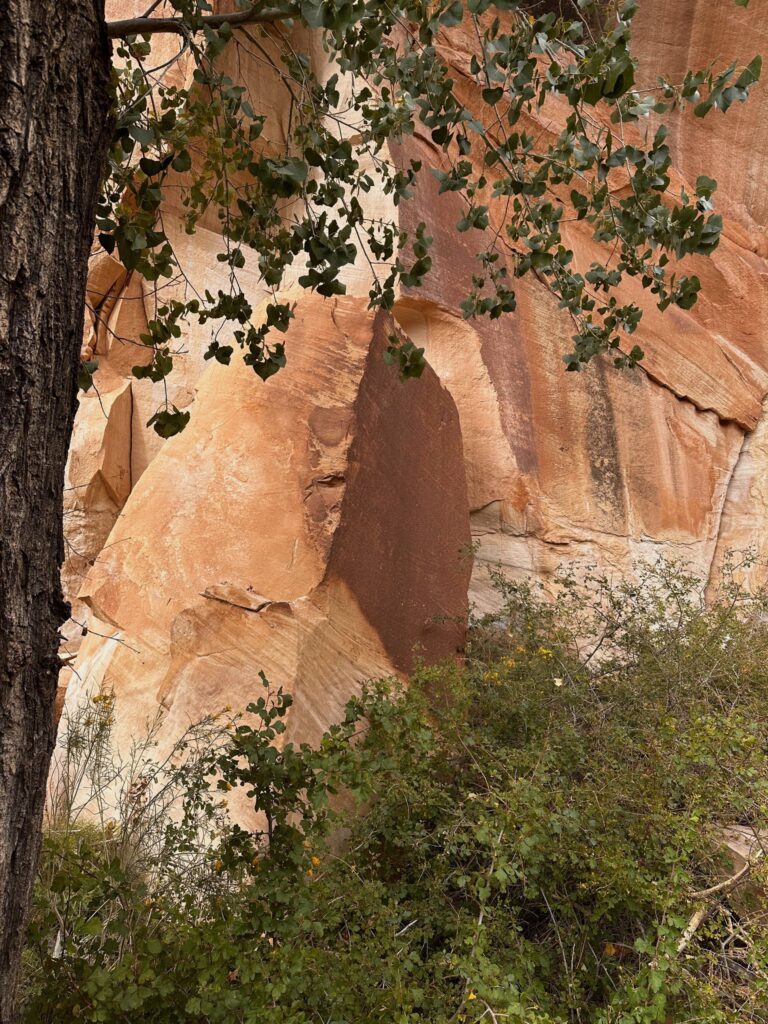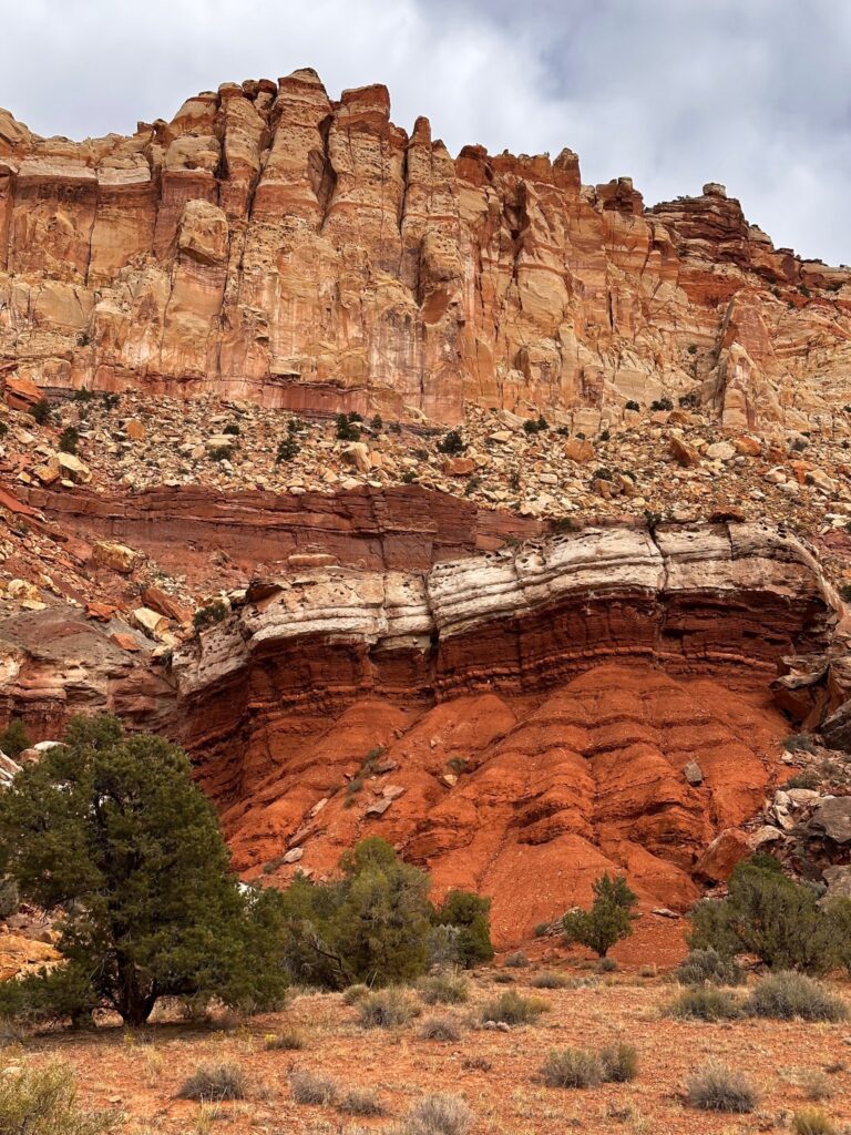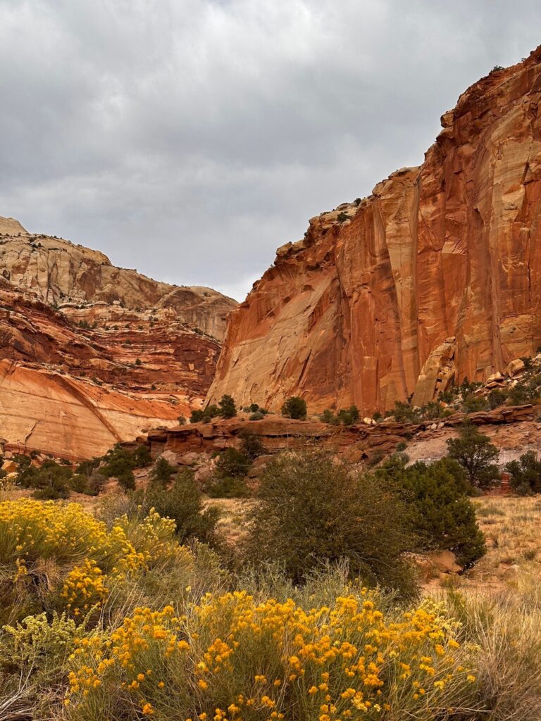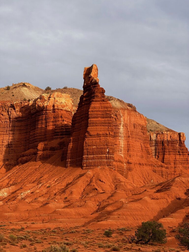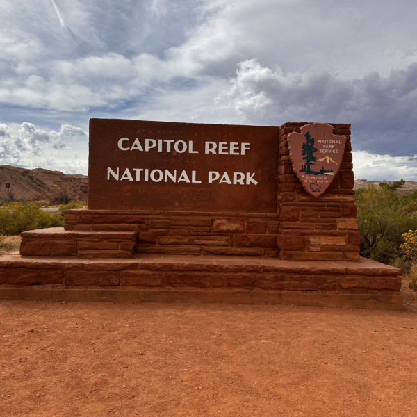
Capitol Reef is filled with geology that takes shape, color, and dimension to a level beyond comprehension.
— Stephanie Payne
Date Created: Capitol Reef National Park was designated a national monument on August 2, 1937, and it was redesignated as a national park on December 18, 1971.
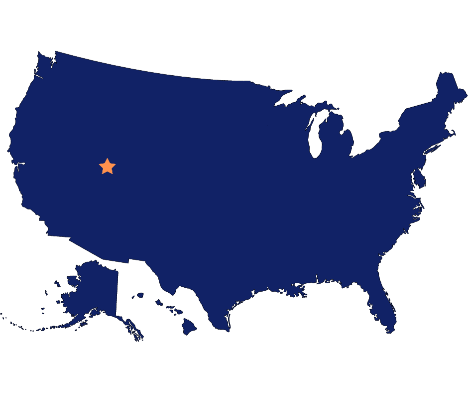
Location: South-central Utah, USA.
Size: Approximately 241,904 acres (97,890 hectares).
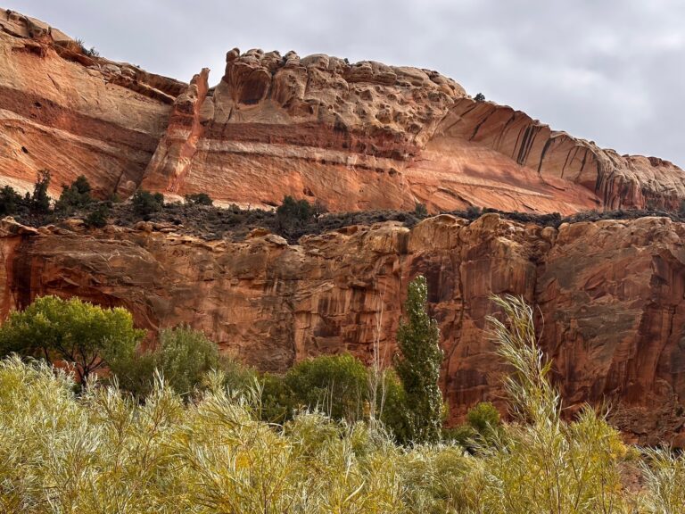
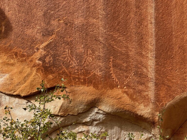
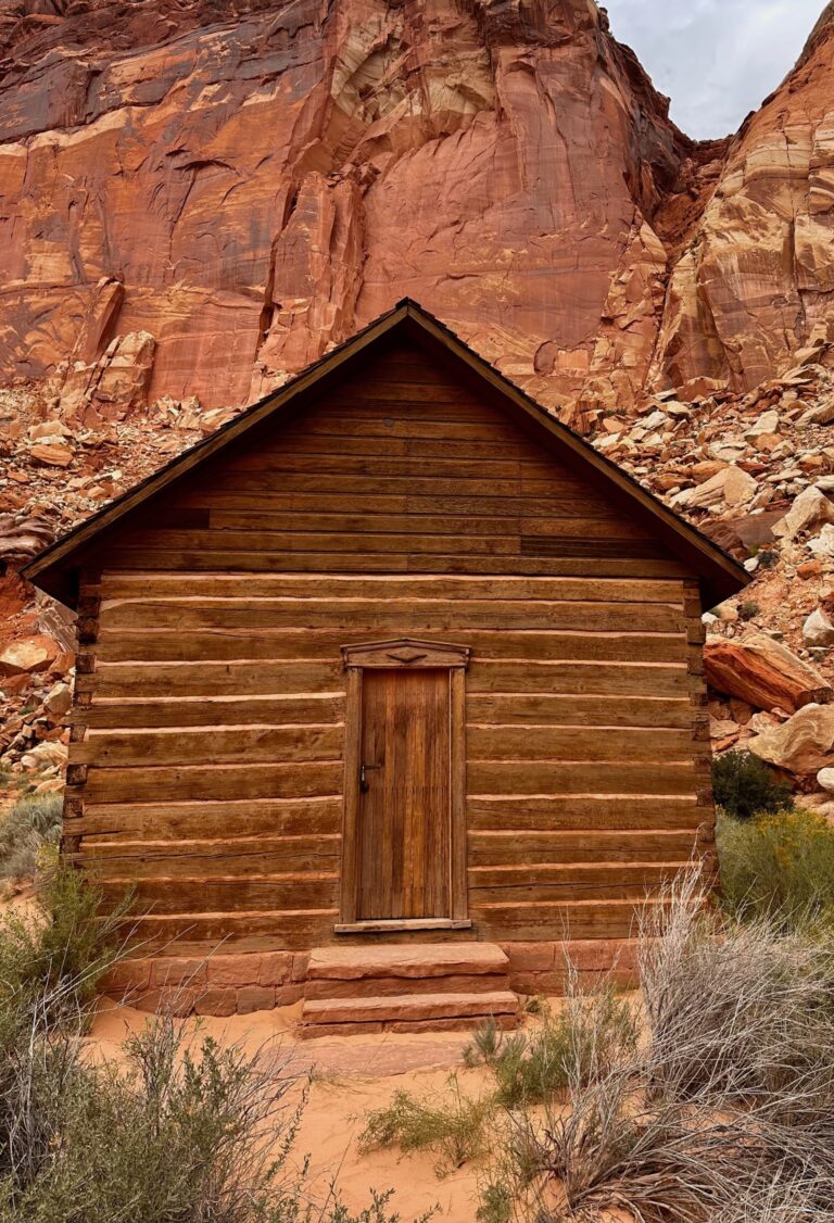
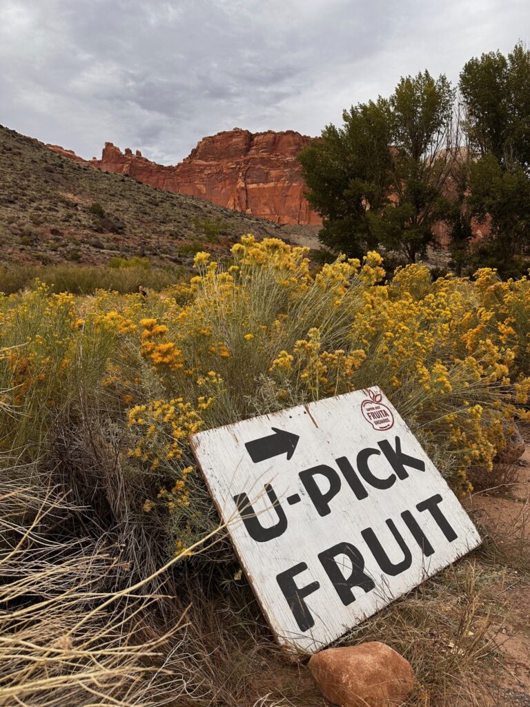
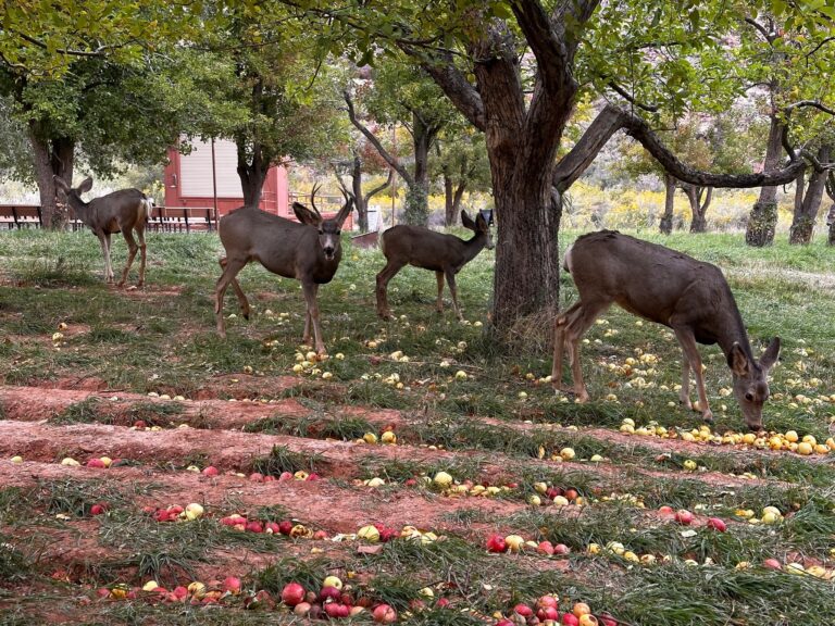
One distinct peculiarity of Capital Reef is the Waterpocket Fold, an almost 100 mile buckle in the earth’s surface with one side steep aside the otherwise horizontal landscape. Other geological features of red sandstone cliffs, canyons and distinctive rock formations are equally impressive. My favorite area of this vast park was Fruita. Once inhabited by Fremont native Americans, this town was settled in the late 1800’s by a group of Mormons. They planted 2000 fruit trees, grew vegetables, sorghum and alfalfa and bartered with nearby communities for essentials. Today the orchards of cherries, apricots, pears, peaches and apples are maintained by the National Park Service using the original gravity-fed pipes and ditches. Visitors are welcome to harvest the fruit as it ripens. Additionally, ancient petroglyphs are easily located along a well maintained boardwalk across from the orchards.

